Benin
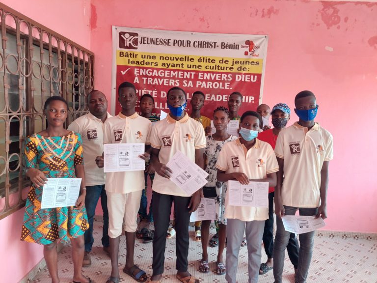
JPC Bénin, se veut être une force d’interposition du Seigneur dans ces derniers temps ces derniers temps pour sauver le maximum de jeunes du péché, des vices et de l’iniquité qui sapent leur destinée. Nous voulons que chaque jeune homme et chaque jeune fille aient l’opportunité de connaitre Christ intimement, de maximiser ses dons et talents afin d’être une bénédiction pour sa génération.
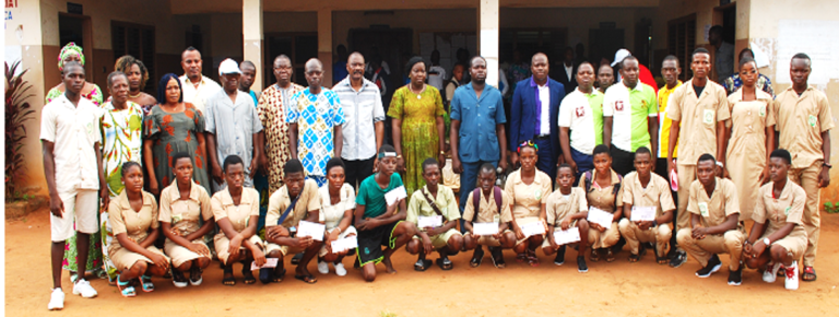
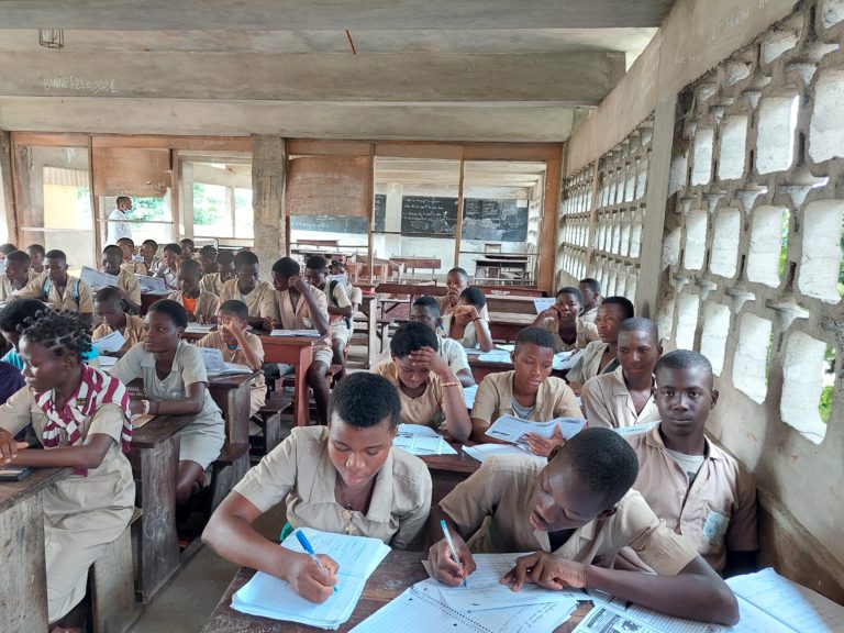
Notre défi est d’accompagner chaque jeune de l’âge d’enfance jusqu’à l’âge adulte afin de lever une nouvelle génération de leaders fidèles, comme Daniel et Joseph, qui ont la crainte du Seigneur et qui impactent leur communauté, église, famille et la Nation par des valeurs éthiques dans la gouvernance.
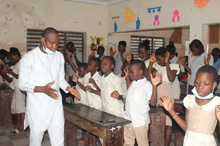
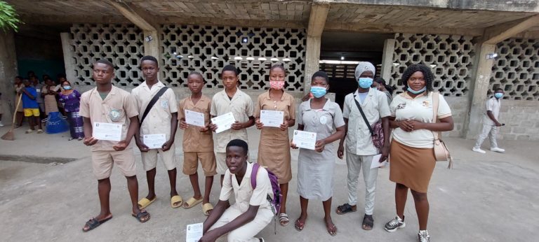
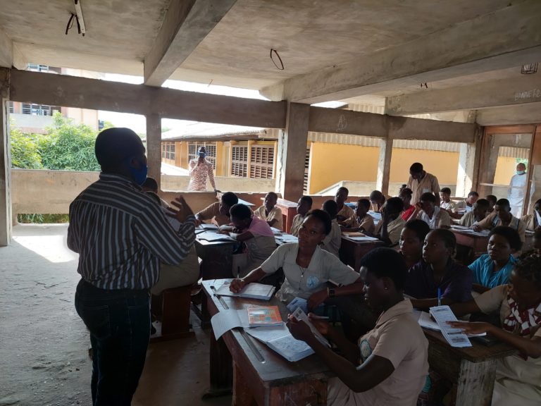
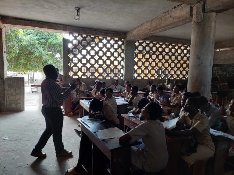
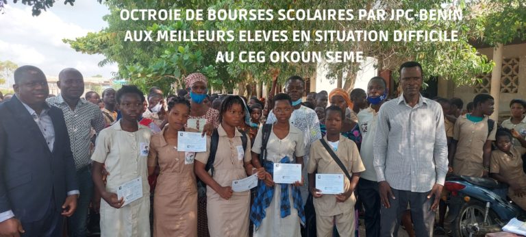
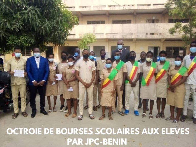
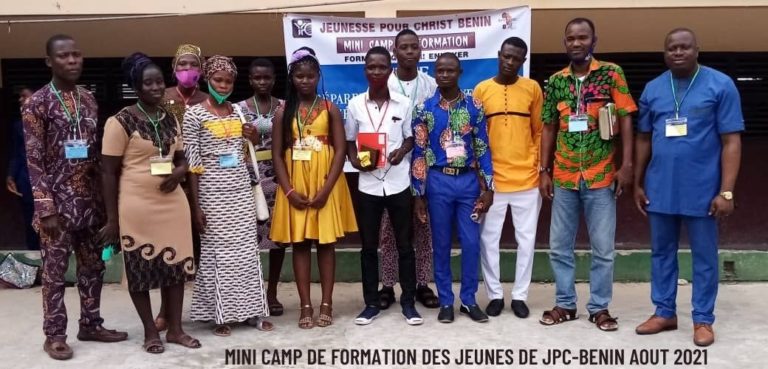
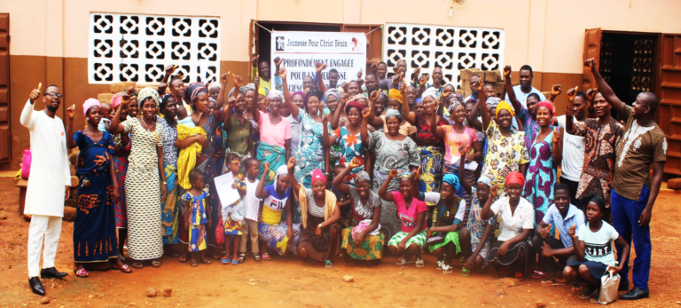
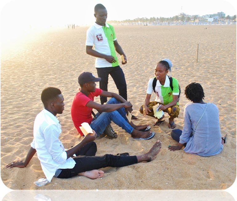
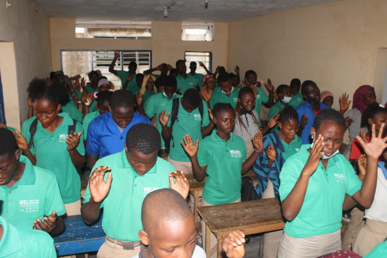
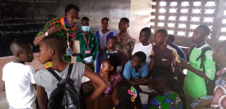
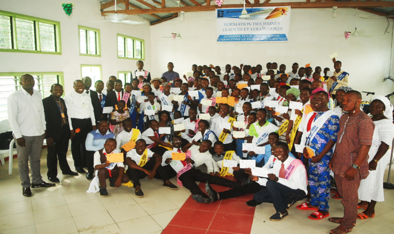
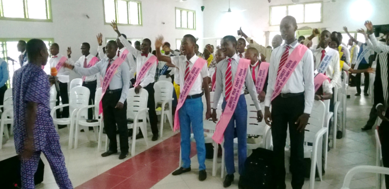
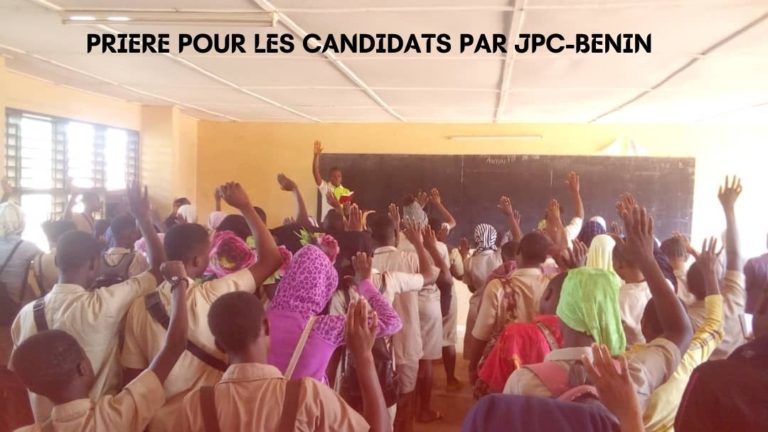
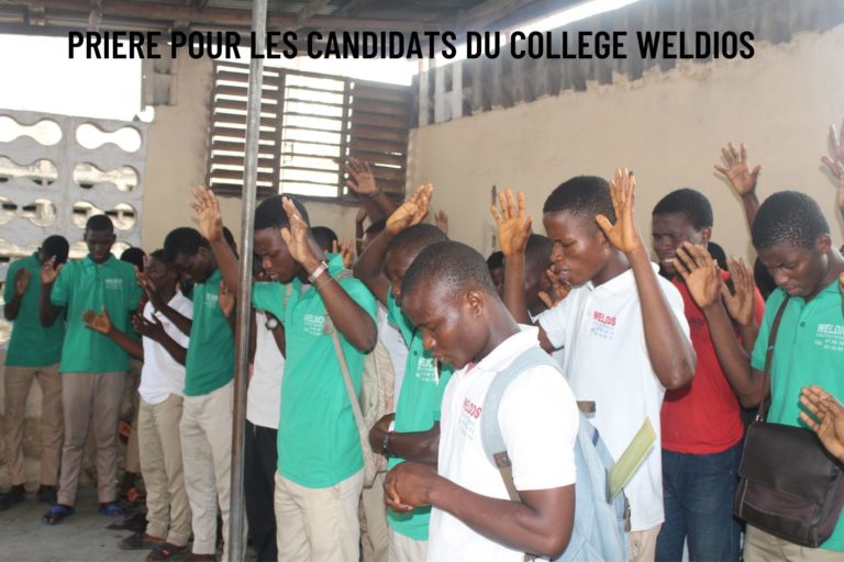
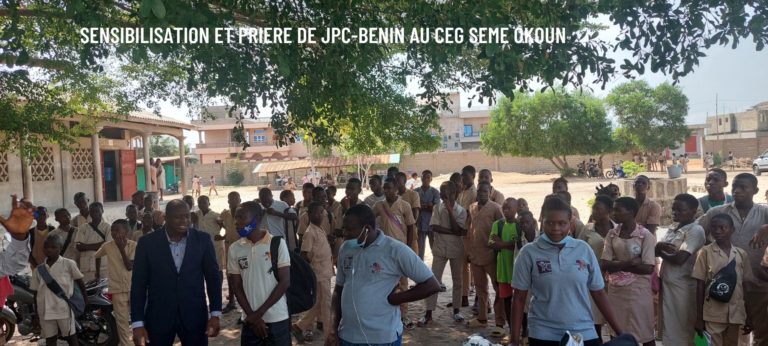
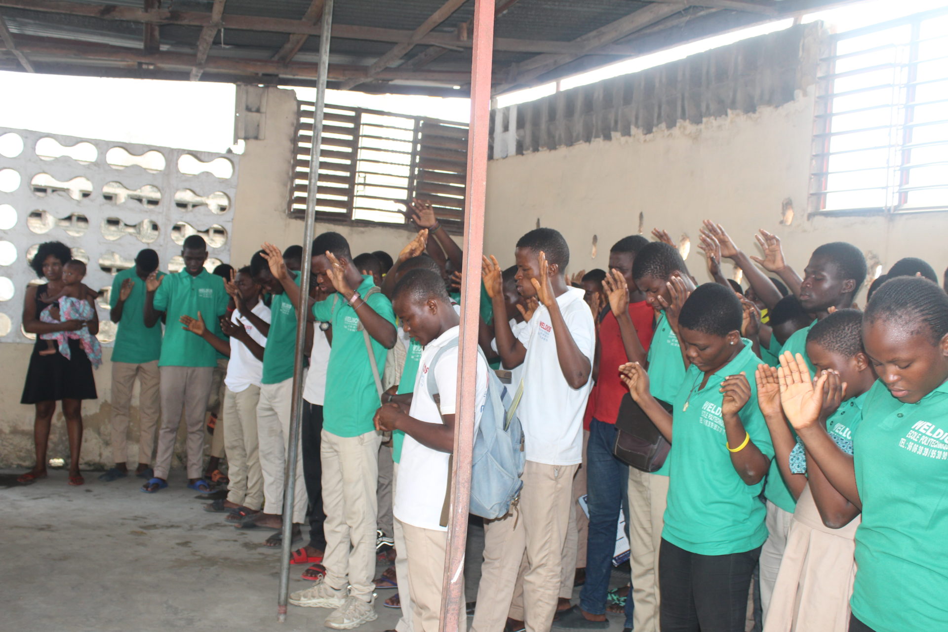
Pour ce faire, chaque semaine nous rassemblons plus de 2000 jeunes pour leur édification spirituelle, académique, professionnelle et leur leadership. Aussi, notre ministère vise à former les parents, les éducateurs, les leaders des jeunes, les enseignants et responsables d’Eglises pour une prise en charge appropriée des jeunes.
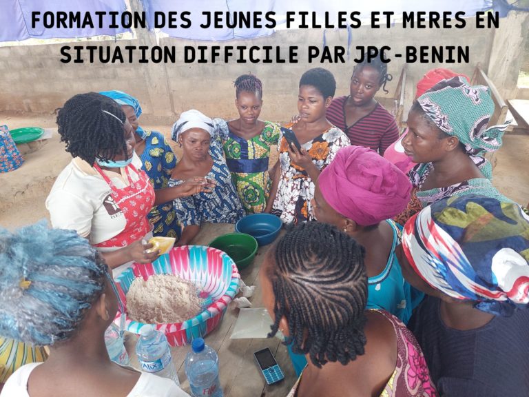
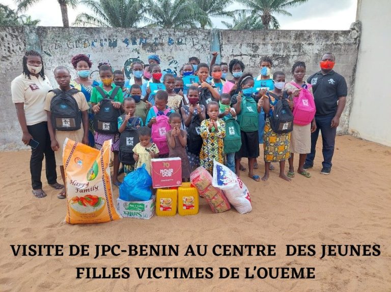
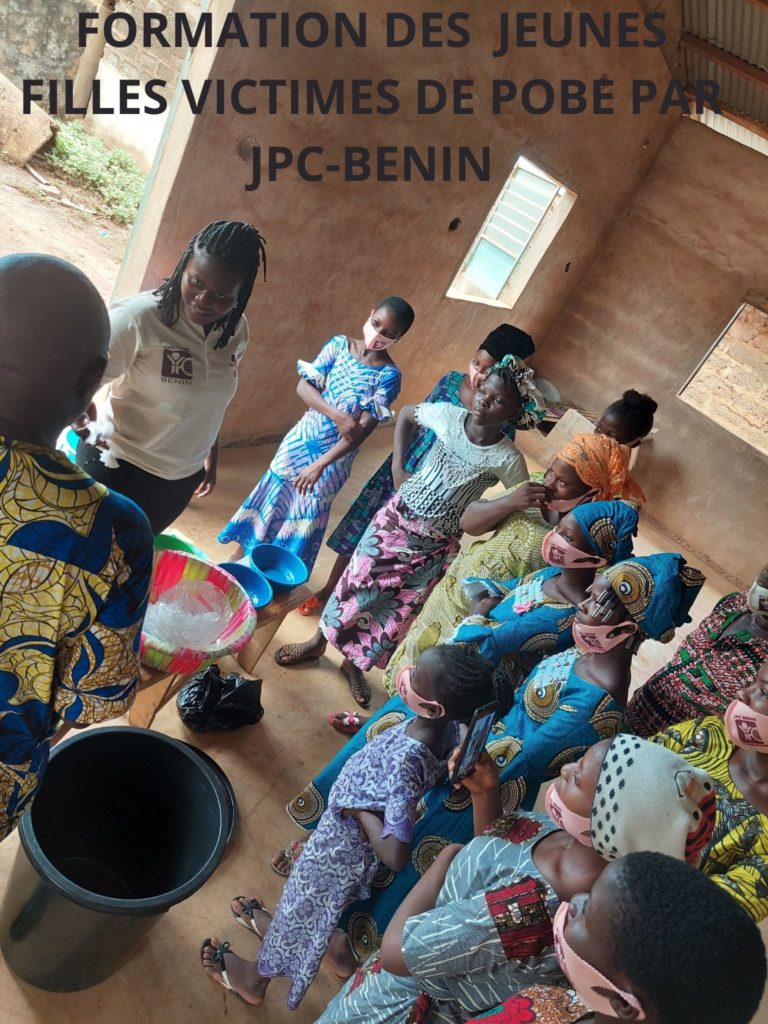
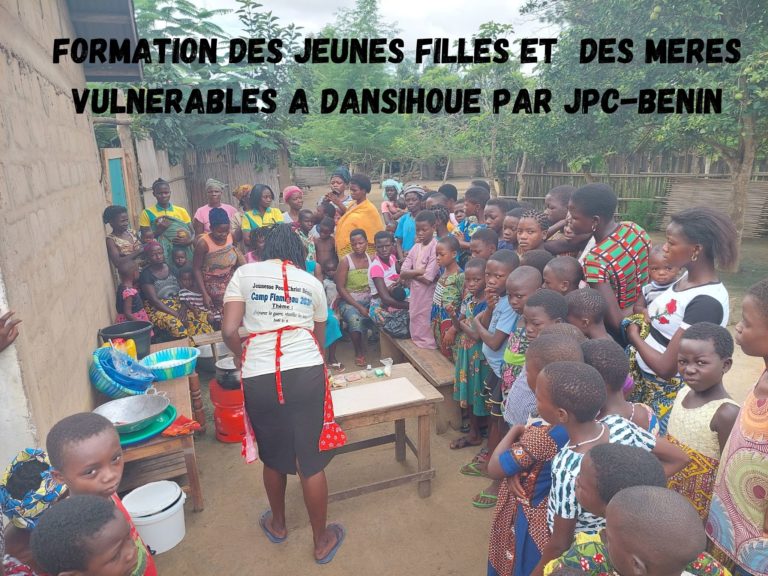
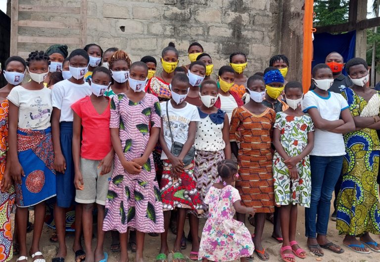
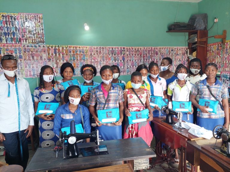
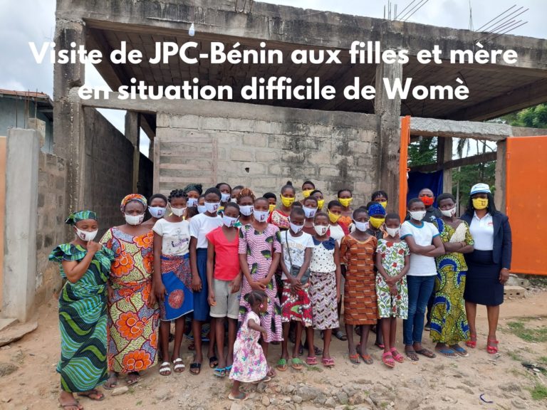
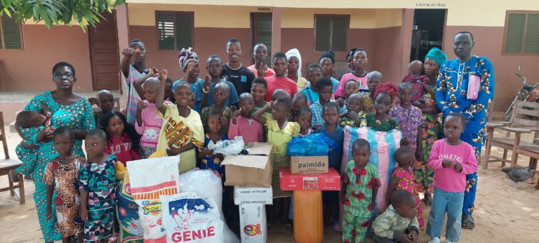
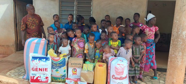
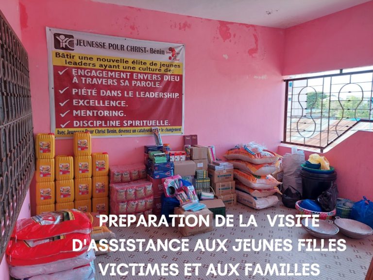
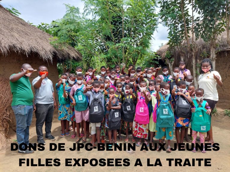
Aussi, nous voulons que chaque jeune fille handicapée ou victime de violence connaisse l’amour inconditionnelle de son Créateur en vue d’un avenir radieux et pleinement réconcilié avec sa famille, la société et inséré socio économiquement.
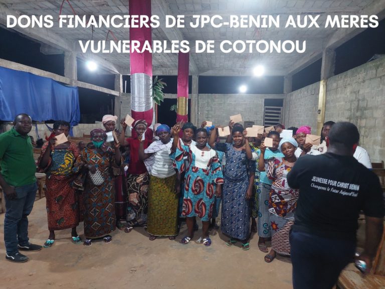
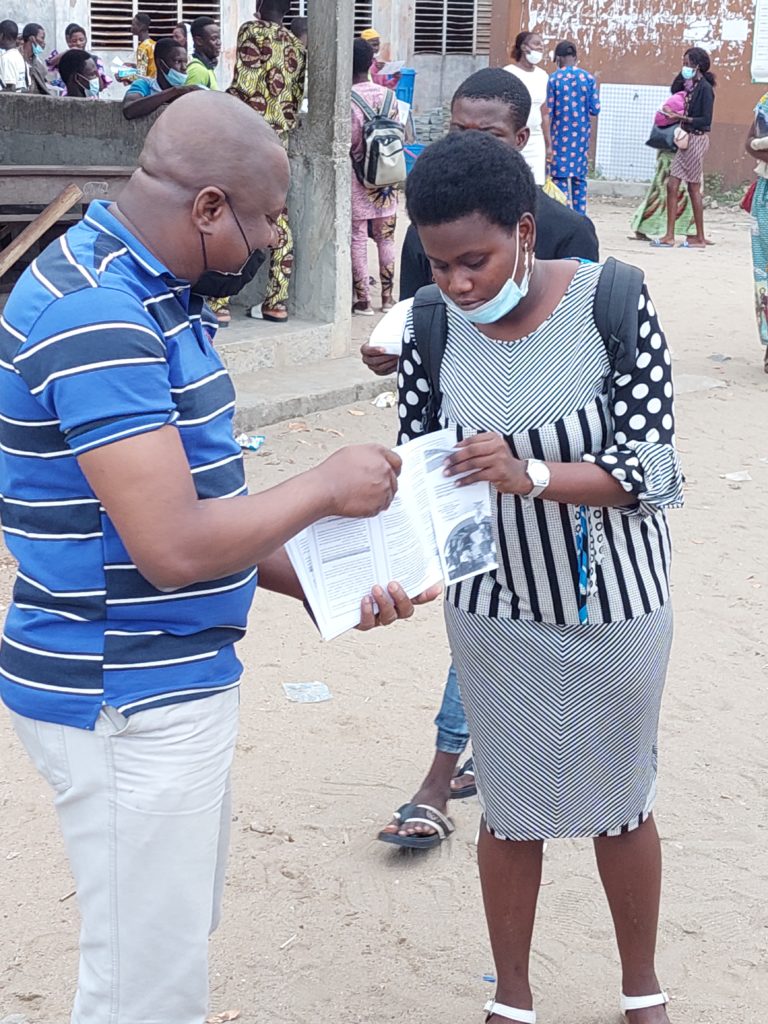
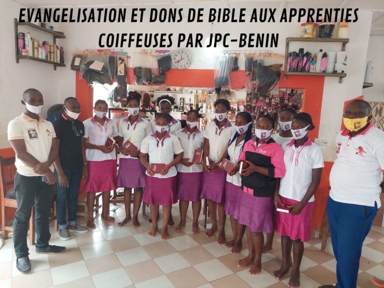
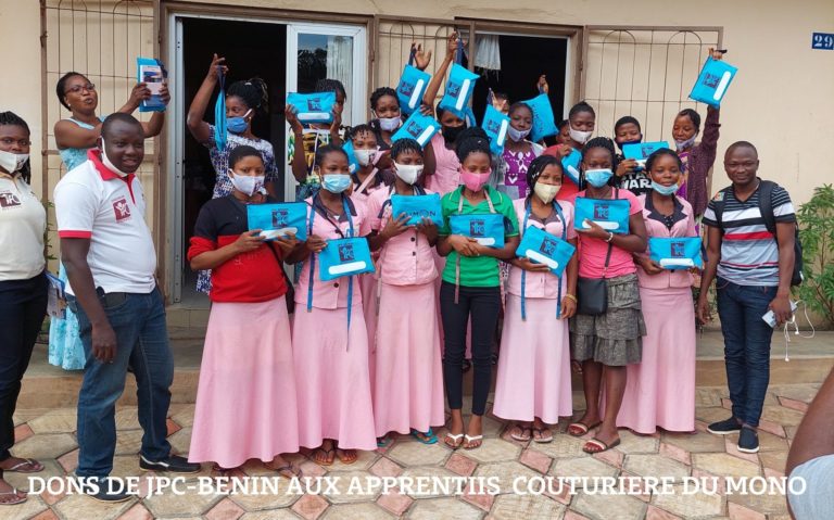
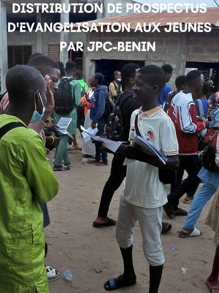
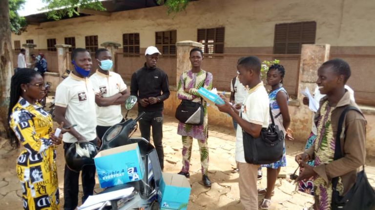
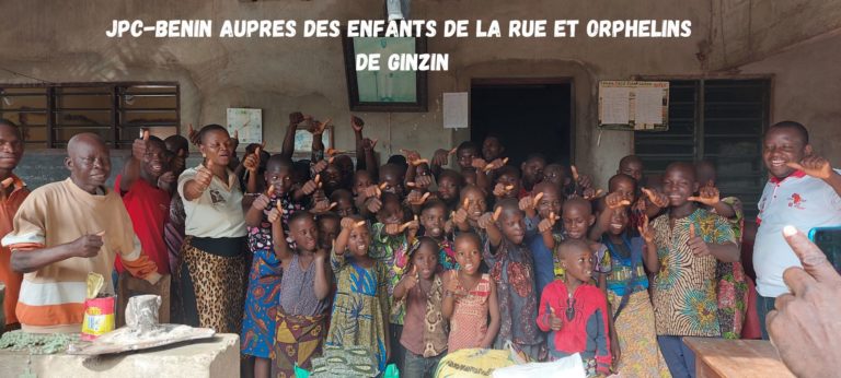
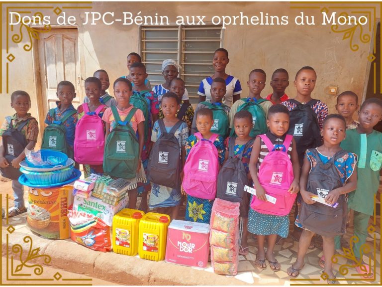
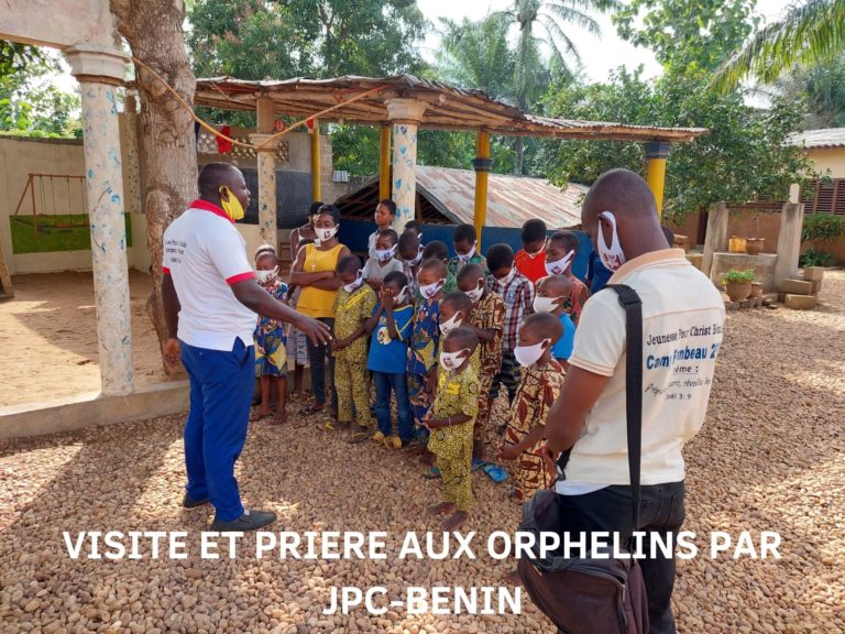
Enfin, chaque année nous donnons à des milliers de jeunes l’opportunité à travers des camps de s’engager socialement pour ses services de volontariats au profit de leur communauté, à travers des opérations médicales gratuites, des campagnes d’évangélisation et une assistance sociale aux personnes défavorisées. A travers ce programme nous avons à ce jour planté plus de 10 églises en partenariats avec les Eglises locales.
Besoins de prière
- Que le Saint Esprit visite le Mouvement pour en faire un creuset de réveil de la fin des temps;
- Que le Seigneur ouvre de nouvelles portes de sagesse et de grâce pour développer des programmes qui impactent les jeunes;
- Que les écluses des cieux soient ouvertes pour que nous puissions gagner le plus de jeunes pour Christ